Geomatics
To accurately assess potential hazards, MAA’s geomatics services provide public and private clients with the ability to capture and analyze potential geological threats to their developments. Through the use of tools such as Geographic Information Systems (GIS), GPS, and remote sensing, MAA is able to fully utilize this comprehensive data for city planning, land developments and management, transportation and infrastructure network planning, hazard mitigation systems, and utility management. This technology has improved the capabilities to design the necessary mitigation measures, management systems, and strategies.
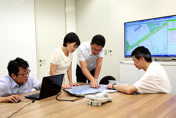
Geomatics Team discussion
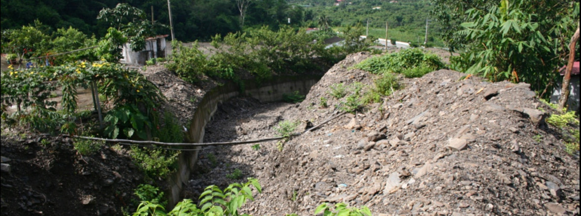
Slopeland Hazard Mitigation
Geotechnologists specialize in determining subsurface conditions in preparation for projects, but due to heavy precipitation and erosion, Taiwan has had difficulties with creating sufficient hazard mitigation measures. To assist with the Taiwanese government, MAA combined geotechnology with GIS in investigating slopeland soil conditions, hazard impacts and potential impacts, while collaborating to designate evacuation plans and plan hazard mitigation measures. The analyses provided by the investigations have been incorporated into hazard mitigation management for slopeland developments, to ensure the safety of inhabitants.
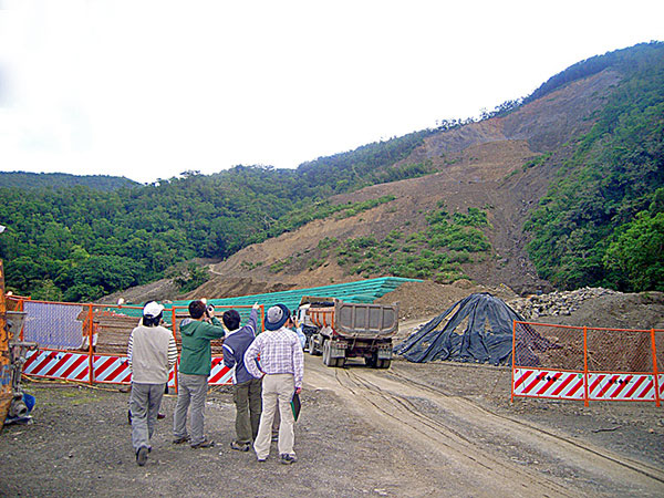
Site investigation
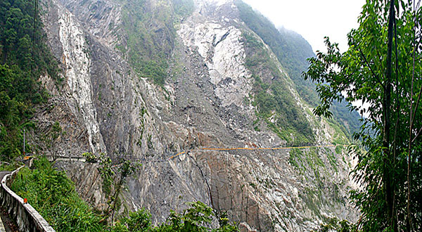
Site investigation