To accurately assess potential hazards, MAA’s geomatics services provide public and private clients with the ability to capture and analyze potential geological threats to their developments. Through the use of tools such as Geographic Information Systems (GIS), GPS, and remote sensing, MAA is able to fully utilize this comprehensive data for city planning, land developments and management, transportation and infrastructure network planning, hazard mitigation systems, and utility management.
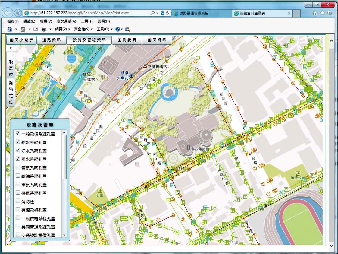
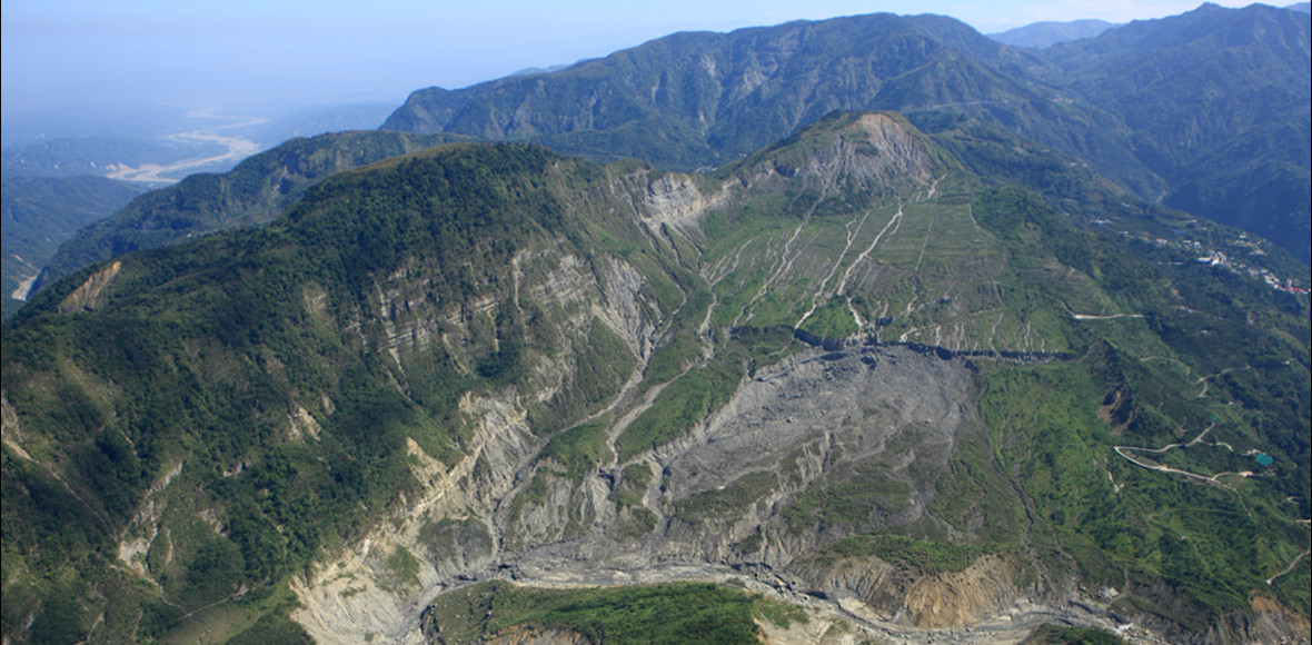
In Taiwan, due to its frequent flooding and earthquake problems, MAA has assisted the government in creating a comprehensive geomatic database, for which complicated developments such as for slopelands require to properly account for potential risks. MAA has also provided its geomatics services to create utility management systems and help develop flood mitigation in disaster prone areas.
Services Provided
- - Utility Management
- - Hazard/Risk Management
- - Project Management
See Markets for more information: