NORTHERN TAIWAN
STUDIES AND INVESTIGATION ON GEOLOGICAL HAZARD OF HILL SLOPES, TAIWAN
- MARKETS :
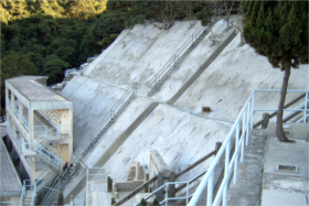
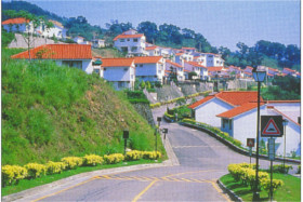
- Slopeland development
- SERVICES :
- Geomatics
- SCOPE OF WORK :
- Aerial photos and orthophotos
5 x 5 m digital terrain model
Landslide prone area database
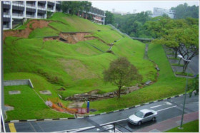
Mapping slope hazard
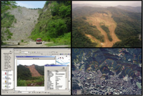
Urban expansion spurs development on hazard-prone hillside land. Taiwan’s Central Geological Survey launched in 2002 a five-year geological survey to map potential hazards and improve disaster prevention. Falling rocks, landslides, coal mining areas, abandoned quarries, river bank erosion etc. were all taken into account to build a comprehensive hazard prevention database. MAA took part into this effort by mapping out and adding to this database slope hazard data for Northern Taiwan.
Partners: Disaster Research Center, National Cheng Kung University, Tao Lin numerical measure Engineering Ltd.
Scope of work
- Color aerial photo acquisition, processing and production of orthophotos
- Creation of a 5 x 5 m digital terrain model (DTM) with aerial photography, contour lines and field surveys
- Creation of a database with hazard prone areas, maps, pictures and metadata
RELATED PROJECTS
RELATED INSIGHTS